Moore Park SLSC
Moore Park Surf Life Saving Club was founded at a meeting on the 9th August 1954 as a memorial to the men and women of the district who had served their country at war.
Upon its foundation, Moore Park SLSC members camped for the weekend to patrol the beach. The first clubhouse was a tent, a rusty shark tower and wind up shark alarm donated from another club and a 10ft fishing boat for rescues and training.
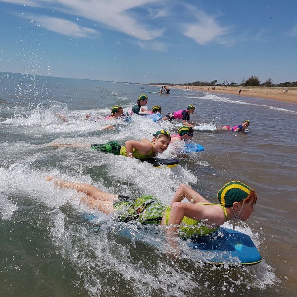
The club’s volunteer members now provide emergency search/rescue and first aid, deliver surf safety and provide preventative programs to ensure beach visitors avoid danger.
Moore Park Beach
Moore Park Beach is a long, natural, relatively safe beach with a patrolled section located between two waterways.
Moore Park Beach is located on a 20km long, gently curving beach that runs from the dynamic mouth of the Kolan River to Barubbra Island at the mouth of the Burnett River. The Moore Park section is 14.5km long, faces north-east and ends at the mouth of Croome Creek. The entire beach is backed by a 3 to 5km wide beach to foredune ridge plain, which represents a substantial build-out of the shoreline over the past 6000 years, with much of the sediment coming from the Burnett River.
The Moore Park SLSC is located in the foreshore reserve in the centre of the settlement, immediately north of the caravan park. The beach receives waves averaging 0.5 to 1m. It has a moderately steep high tide beach, with a low, flat bar exposed at low tide. Rips run across the bar when waves exceeds 0.5m.
Moore Park Beach is relatively safe beach when waves are 0.5m or less. Higher waves will induce rips, particularly toward low tide, and strong easterly winds and waves will cause a current to run north along the beach.
Location
1 Surf Club Dve,
Moore Park, QLD, 4670